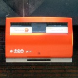
Postcodes and road maps liberated in the Netherlands
 It took a couple of lawsuits to put their prospective gatekeepers into place, but both the Dutch postal code data and the Dutch road map data have been set free.
Postcodes used to be determined by the Dutch PTT, and when the company privatized they somehow started claiming ownership. When the government started handing out postcodes for free through its kadaster (land registration office), the new company now called Post.nl sued them, and lost. The judge has determined that starting February 2012, everybody may use the postcode database for free, Gelderlander writes.
Similarly map makers Falkplan lost a lawsuit against the government where the latter published map data via freedom of information requests, Arnoud Engelfriet writes. Falkplan’s angle seems to have been to disallow competition, plain and simple.

Leave a Reply